The building of the Yarlung TsangPo dam was a much disputed affair (another report here)as it would affect the other rivers in Bangladesh and India since the source of their rivers come from Yarlung TsangPo. The dam had already caused much concerns to the people in Tibet due to the ecological hazards it will bring in the long run. And, many could not fathom the need for the dam though its purpose is for hydroelectric power. See here for the diary of the Yarlung TsangPo Dam.
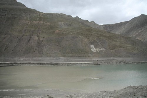
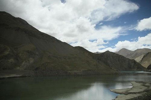
The brownish water of Yarlung Tsangpo river began to turn to a greenish blue when our coach approached the dam. The greens and yellows of the terraced fields became barren. The place looked abandoned. Initially, I thought it was a natural phenomenon that the slopes of the mountains terraced and it looked mystical over the greenish blue waters. According to my guide, farmers were cleared off their lands for the building of the dam. Due to this, the fields were exposed to the construction work and became barren.
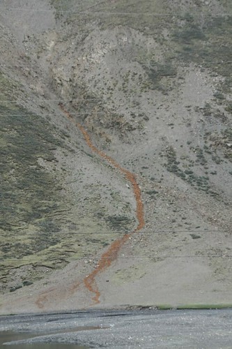
A stream of reddish stuff flowing down from the mountain
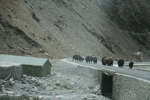
Yaks taking over the roads and Tibetan tents beside the road
A bridge on the verge of collapsing

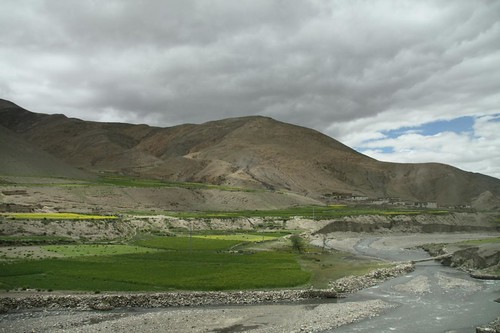
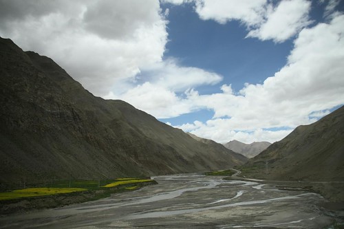
Terraced fields by the Yarlung TsangPo river
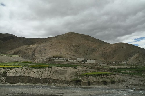
Farm houses and fields
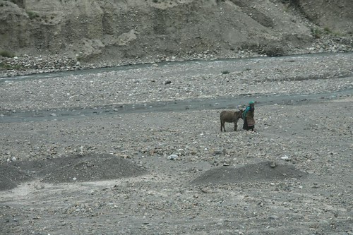
Lady with a goat
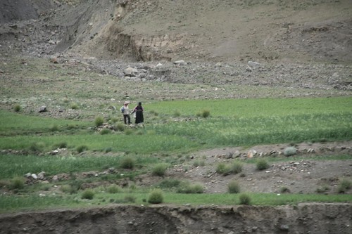
A man and a woman in the mountains (dating?)
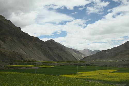
Crops-covered valley
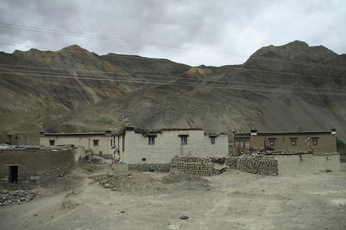
Concrete houses
Tiny streams in the river
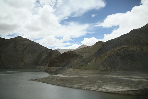
The volume of water is higher in this part of the river
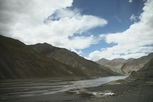
The brown river water becoming blue at this section of the river
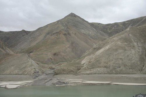
Terraced slopes by the river banks
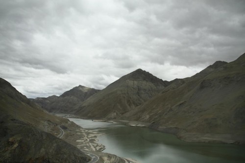
Beautiful greenish blue water though an environmental disaster is in progress.
Terraced slopes lined the river banks of Yarlung TsangPo river
Yarlung TsangPo Canyon
Aerial view of the Yarlung TsangPo Grand Canyon. Source:Yarlung Tsangpo Canyon, Tibet and Fish River Canyon, Namibia by Charlotte Amelines

These terraced slopes used to be covered with green and yellow crops

Yarlung TsangPo Dam

Poster of Yarlung TsangPo Dam on the other side. Source: tibetanplateau.blogspot.com

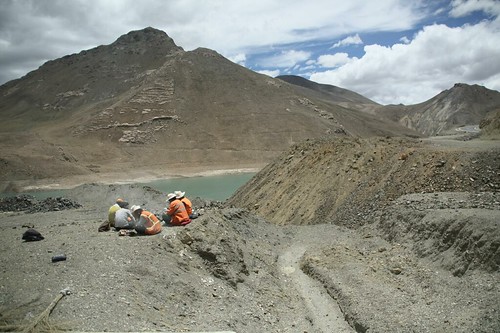
Workers having lunch beside the river
No comments:
Post a Comment