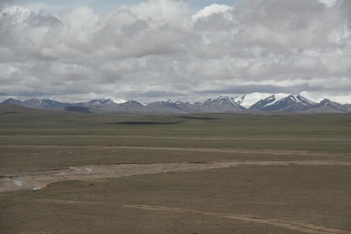
The terrains has turned from greyish white soil to brownish and now towards a more reddish tone, covered in certain areas with green pasture
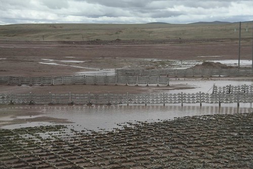
Stones arranged in grids and barricades to protect the railway against earthquakes. You can literally see these grids on Google Maps!
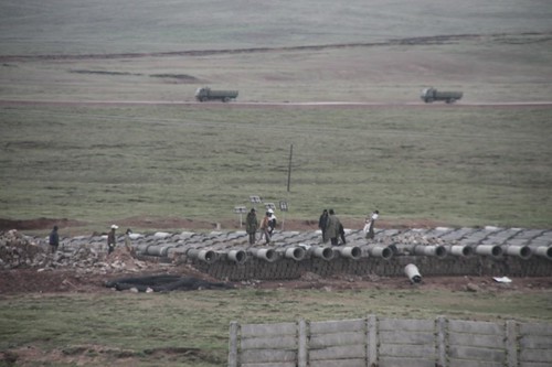
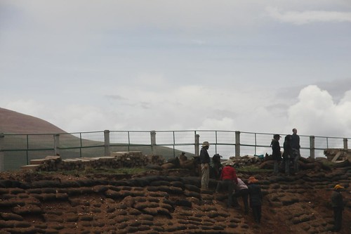
Workers in a construction site
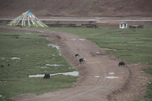
Farmhouse by the mountain. They have prayer flags of colours red (fire), green (land), white (sky), yellow (people) and blue (water) hanged on several strings. You'll see these on rooftops, bridges and certain spots on the mountains. They are called "Lung Da", which in Tibetan, "Lung" means wind and "Da" means horse. The "Wind Horses" will take their prayers up into the heavens for them to be answered by the gods. And, a common sight in the Tibetan plateau is yaks grazing on the green pastures by the fields or mountain slopes. In Mandarin we call yaks "Maw Niew", literal translation in English is hairy cow.
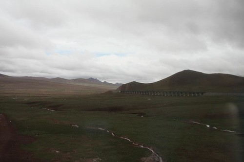
It started raining. But the view of the beautiful pasture-covered red mountains with the sun-reflected silver streams were breath-taking.
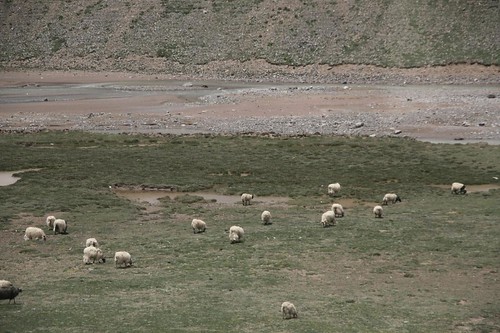
And, there are also many cotton fluff of sheeps grazing by the mountain sides.
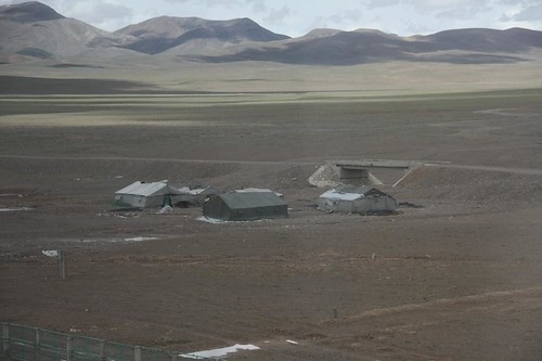
The tents of Tibetan nomads
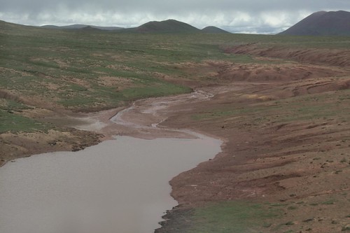
A swollen brown river
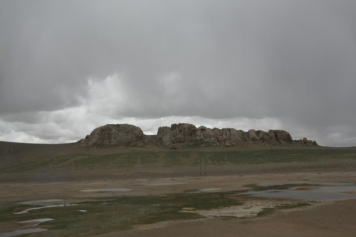
White granite rocks on the hill tops near Ria Road Ma
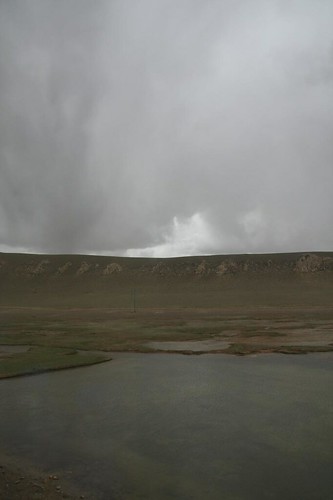
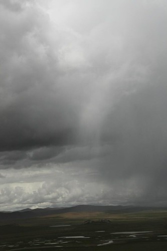
Strange cloud formation that looked either like rain showers or sun rays penetrating through the clouds
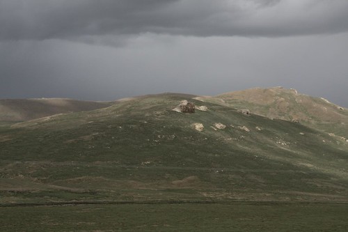
Individual white boulders on the green reddish mountains
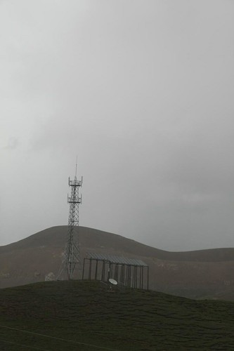
Solar panels to power communication devices
Lots of white specks - sheeps! Near Rier Lama

Ochred soil.
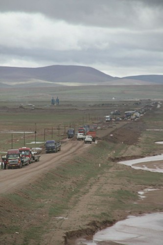
People working by the railway
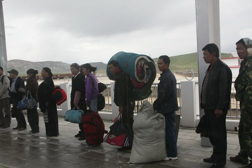
Passengers waiting to get on the arriving train at the Amdo.
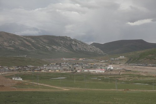
A town in the valley of Amdo. It is when I was writing up this blog entry that I realised I missed out on the whole Tanggula Pass (the highest point of the Qinghai-Tibet Railway as well as the highest point of all railways in the world!) and Tuotuohe River (a river of many rivers) scenes. I had thought these photos were taken at Tanggula when it turned out they were taken at Amdo, way further ahead, nearer to Lhasa. I must have been asleep that time! Grr! All the more reasons for me to go back to Tibet now. Sigh, this is when ignorance is NOT a bliss.
Then, we see reddish soil again.
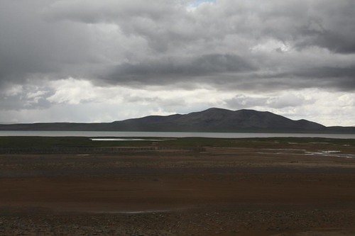
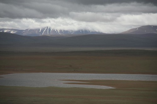
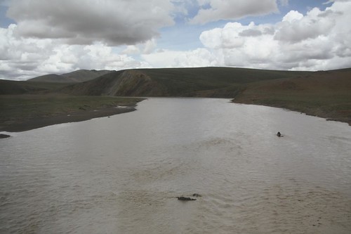
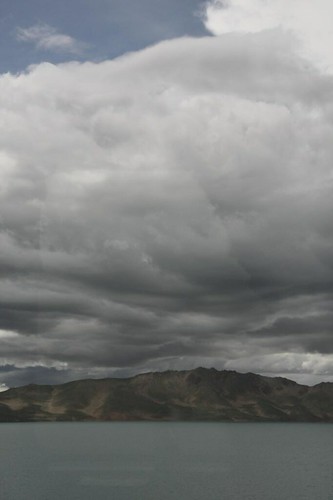
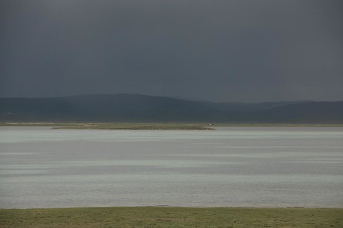
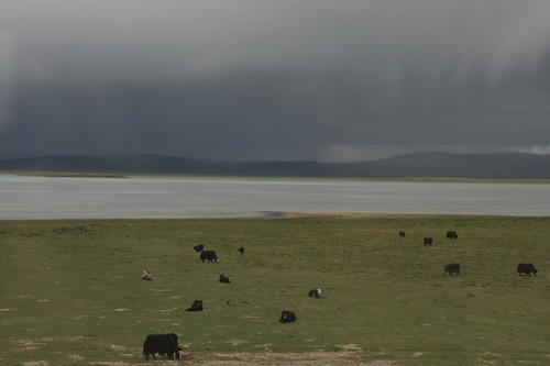
We passed by Cuona Lake
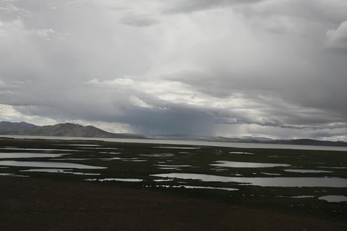
Beautiful Cuona Lake near Qiekou Qiangma
More yaks grazing on the greens by Cuona lake.
2 comments:
very beautiful country. it's been nice following your journey through the photos. thanks.
i'm glad you enjoy my photos. thank you too. :)
Post a Comment