Daylight was coming to an end when we boarded the train during the previous night so most of the photos taken were of the interiors of the train. The following day, I spent hours by the corridor window taking photos.
Pardon me for the reflection and the colours of the photos running a little off. I'll attempt a more informative write-up another time. Meanwhile, enjoy!
---------------------------------------------
Thanks to Google Maps and Panoramio that I was able to trace these photos back with some names of location. There were commentaries running in the train but it was too noisy to be heard.
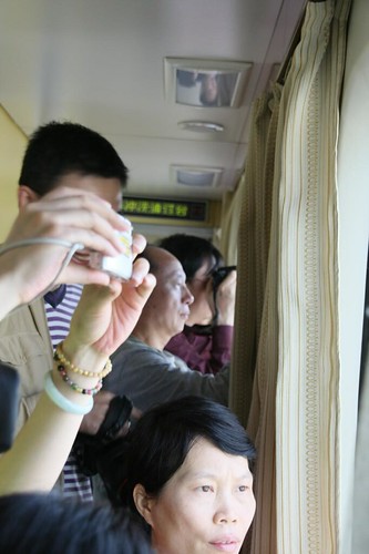
Photography enthusiasts took the seats by the corridor, armed with their DSLRs. Seriously, I was so glad I had with me my 450D and with my modest 18-200mm Sigma, whose range allowed me many flexible shots. Without dslrs and lenses with a moderately powerful range, you are for sure to miss out a lot unless you're doing a road trip which allows you many photo stops. The mountains, rivers, terrains, pastures, people, houses, animals are all different along the train ride and they all pass with such speed that point-and-shoots will have difficulty capturing. This is your ultimate trip for camera fodder. So, bring a good one! You can forget about warm clothes but you MUST bring your CAMERA with many batteries and memory cards. During my 7-day trip, I had two camera batteries (one for use while the backup is charging) and used up all 4 of my 4GB SD cards. Seriously, there are so many brilliant things to capture in Tibet. Just a bus ride by a mountain could easily get a quarter of my SD card filled.
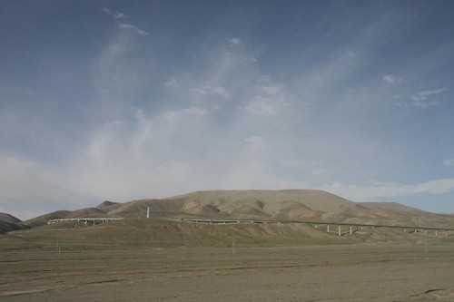
The Qinghai-Tibet Railway was impressive. It stretches across many kilometres in harsh and frozen terrains, crossing several mountain passes, including the FenghuoShan Tunnel, the highest railway tunnel in the world.
Some interesting reads:
Schaefer's Website on Qinghai-Tibet Railway's Construction
English translation of German Wikipedia on the Qinghai-Tibet Railway
Qingzang(Tibet) Railway on Wikipedia
Concerns of the Qinghai-Tibet Railway on BBC
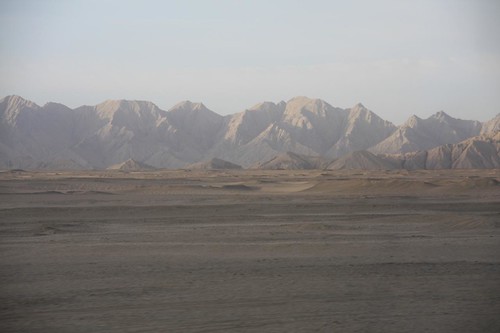
Near South Mountain Kou
Near South Mountain Kou
Nice, blue river in a gorge

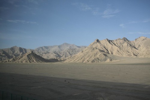
Whitish clay mountains
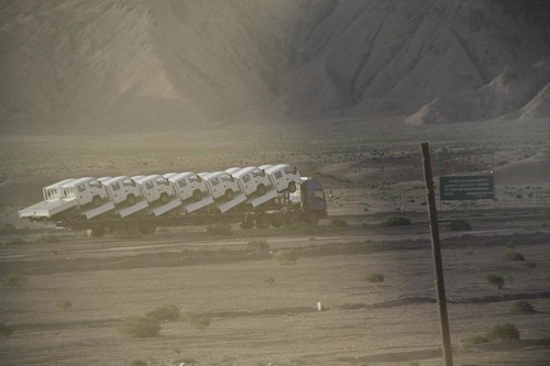
A truckload of trucks
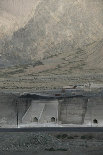
Tunnels for passage of rivers and streams
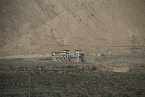
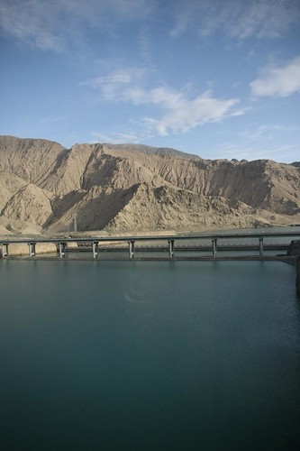
Buildings by the gorge
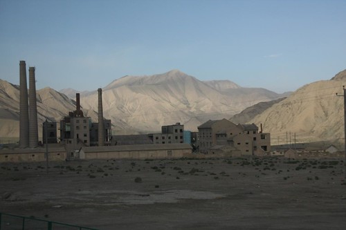
Geermu General Yard Cement Factory
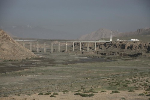
Somewhere near Wushisi Daoban (54 Daoban). The Qinghai-Tibet (Xining-Ge'ermu-Lhasa) Highway crossing a river.
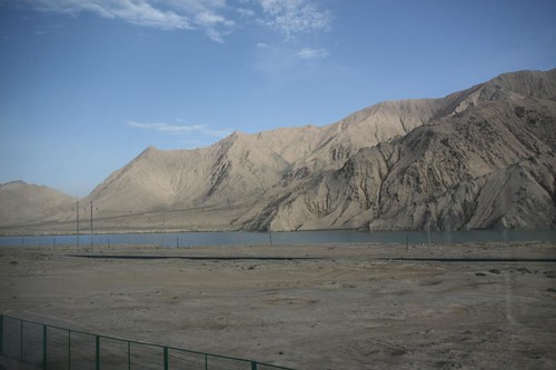
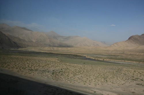
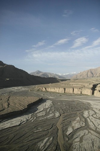
Rivers meandering along the mountain ranges
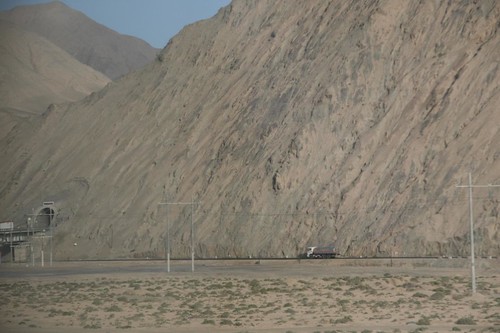
Truck by the mountain and tunnel passage for cars going through the mountain.
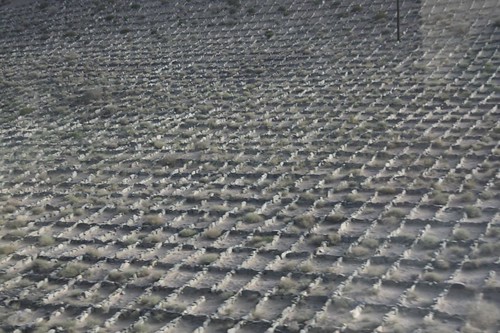
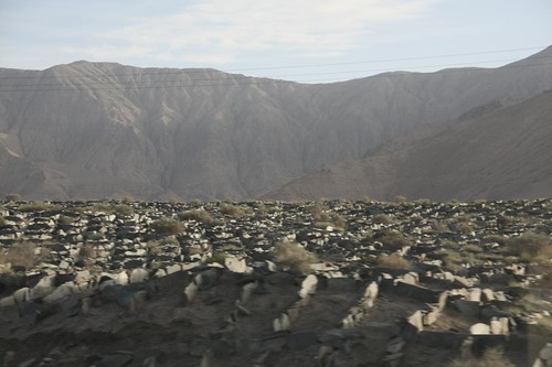
Rocks were arranged in grids to protect the railway during earthquakes
National road winding through mountain passes.

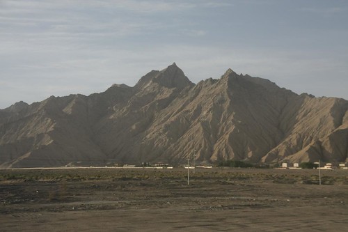
Somewhere near Nichitai
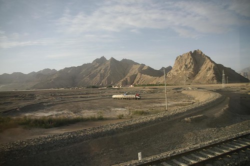
Near Wushiba and Wushiju Daoban (58 and 59 Daoban)
Dried rivers
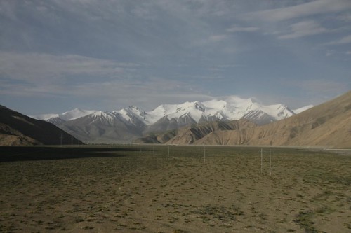
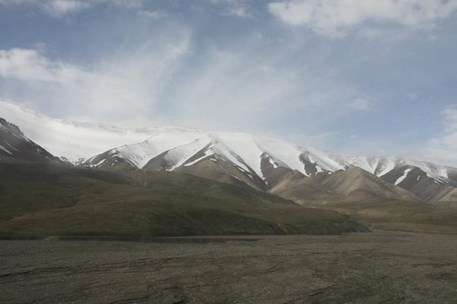
"The Kunlun Mountains - Peak Yuzhu reaches 6,178 meters above sea level and features modern glacier landforms on both its northern and southern slopes. While its southern slope stretches with a gentle gradient, the northern is steep. The glacier end on the southern slope is about 5,100 meters above sea level, not a great challenge for most skilled mountaineers. The road conditions on the northern slope are relatively challenging, and all three glaciers on the slope lead to the summit, requiring good mountaineering skills. All these traits make Peak Yuzhu an optimal destination for both professional and amateur mountaineers." [By Xiao Huaiyuan] - http://www.chinadaily.com.cn/china/2006-08/16/content_666239.htm
Among the mountains you can see in the Kunlun mountain range are Bentoushan, Xiaohongshan and Dianyingshan at the north and Zhongyangshan, Heishan and Jianshan at the south of the railway. It is around this region (particularly East Kunlun Mountains) that scientists in geology and related fields have studied on the Xidatan rock series, which comprised of mylonite, gneiss and granite. (W Chen, http://www.springerlink.com/index/X1K1318526656U00.pdf)
Among the mountains you can see in the Kunlun mountain range are Bentoushan, Xiaohongshan and Dianyingshan at the north and Zhongyangshan, Heishan and Jianshan at the south of the railway. It is around this region (particularly East Kunlun Mountains) that scientists in geology and related fields have studied on the Xidatan rock series, which comprised of mylonite, gneiss and granite. (W Chen, http://www.springerlink.com/index/X1K1318526656U00.pdf)
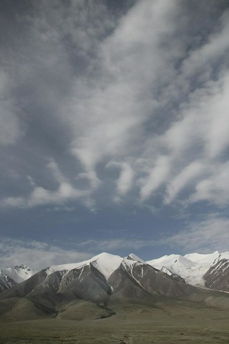
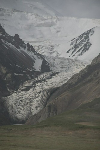
Yuzhu Peak and the Kunlun Mountains
Passengers all eager to take photos
Strange clouds on top of the mountain
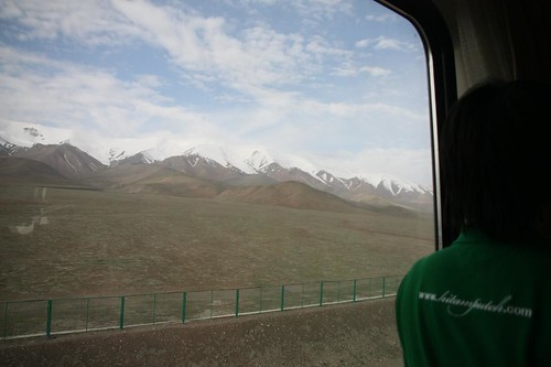
Glacial Mountains
My hitamputeh shirt with the Kunlun Mountains
What a feat transportation from Xining to Tibet was! Construction of railway and roads on permafrost.
Our lunch on the train

Man reading newspaper
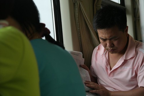
Man savouring a slice of watermelon
No comments:
Post a Comment